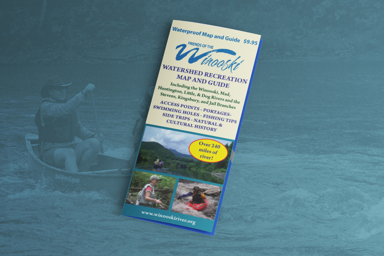
The Winooski River Watershed contains some of the most appealing landscapes of Vermont. In fact, it includes more than 10% of all land area in the state! Recreation opportunities abound in the watershed. This double-sided, waterproof map was designed to guide paddlers, anglers, swimmers, and other outdoor enthusiasts seeking to explore the waterways of the region.
Unique design details included:
SOLD OUT! Contact us if you would be interested in using a similar map in the future.
As part of the Winooski River Sojourn, Friends of the Winooski created a paddling and natural history guide for the mainstem to introduce people to the river. The maps and accompanying articles provide paddlers with information on where to access the river, as well as obstacles to watch out for such as dams and major rapids.
