The Dog River Park in Northfield
A Flood Resilient Community Asset That Works
Click here to download this story as a PDF
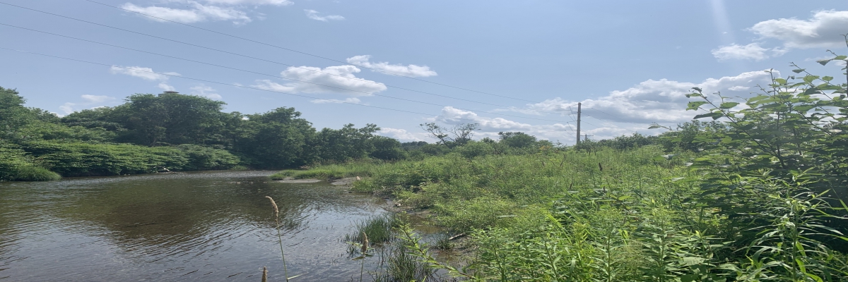
The photo below shows the Water Street neighborhood in Northfield on July 10, 2023. The Dog River, one of the major tributaries to the Winooski, flows from top to bottom on the left side of the photo. The large area of open water outlined in yellow covers the Dog River Park, a beautiful spot for community recreation, river access, and environmental education. The Park is also a functioning floodplain, an area of open land where the river can spread out, slow down, and let debris settle out.
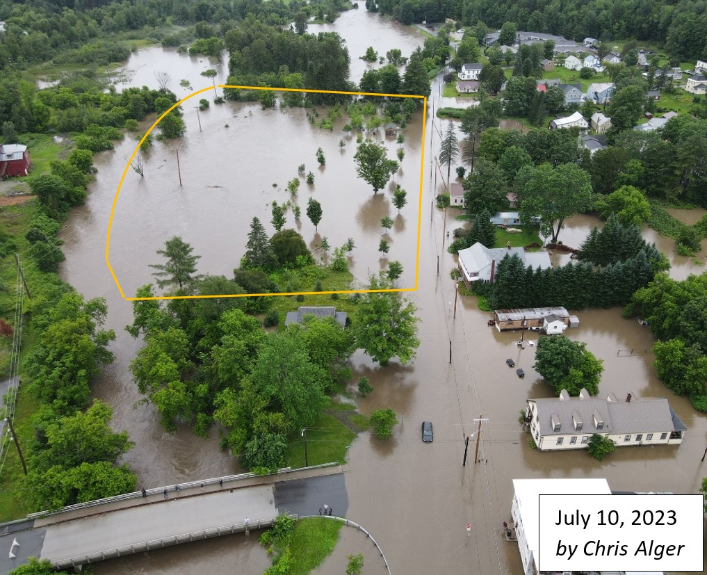 You might wonder whether the river spreading out in this area is safe for these homes, which are surrounded by flood waters. The fact is that the water in this neighborhood would have been six inches higher if the river was not able to fill this floodplain.
How does this work? Projects like this take a long time and a lot of money, so they need a dedicated organization to manage the whole process. We think it is worth it! This Friends of the Winooski River project made a real, measurable difference in this year’s flooding in Northfield, and your support built the foundation for this success. Together, we reduced damage to these homes and disruption to these households.
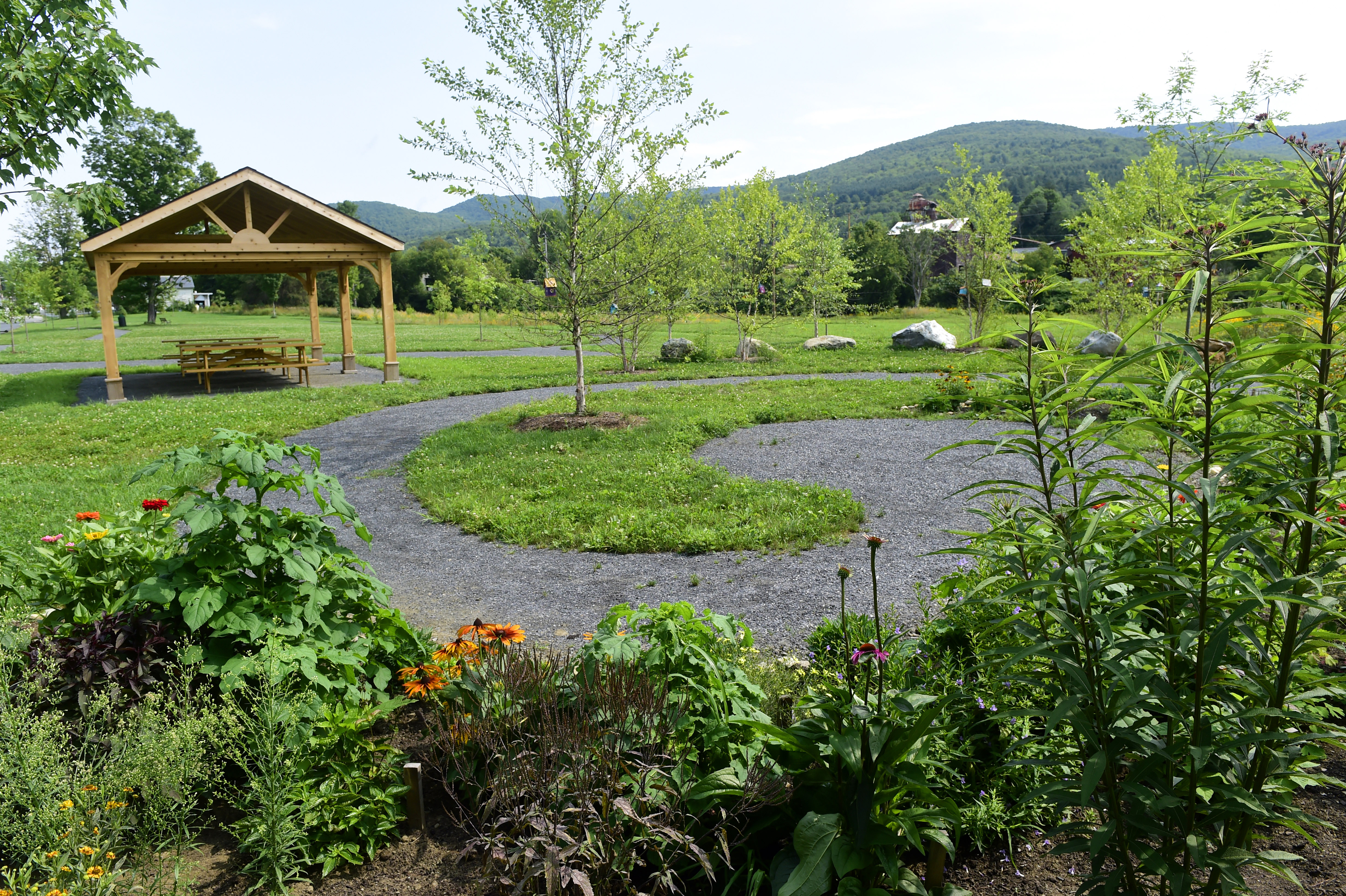
The Creation of Dog River Park
After Tropical Storm Irene in 2011, the Town of Northfield bought out 18 flooded homes, resulting in a major change to the Water Street neighborhood, and in Northfield becoming the owner of a 4-acre parcel of open land along the Dog River. The Town asked Friends of the Winooski River for help to use this public space to reduce future flooding in the neighborhood.
Working with SLR Consulting Engineers and GPI Landscape Architects, the Town of Northfield and Friends of the Winooski looked at alternatives and listened to input from the community and from experts in flood mitigation. Together, we developed a major floodplain restoration project that also serves as a busy public park and an environmental education resource for the local schools and Norwich University. We accomplished this with a lot of community support, and public and private funds that were generously contributed to support our work.
 The Function of Dog River Park
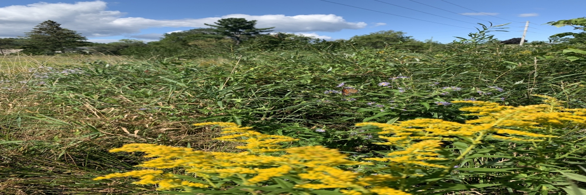
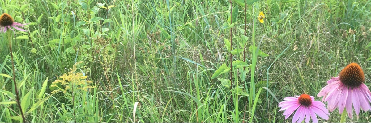
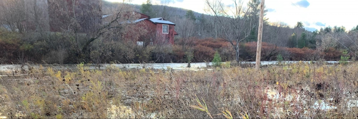
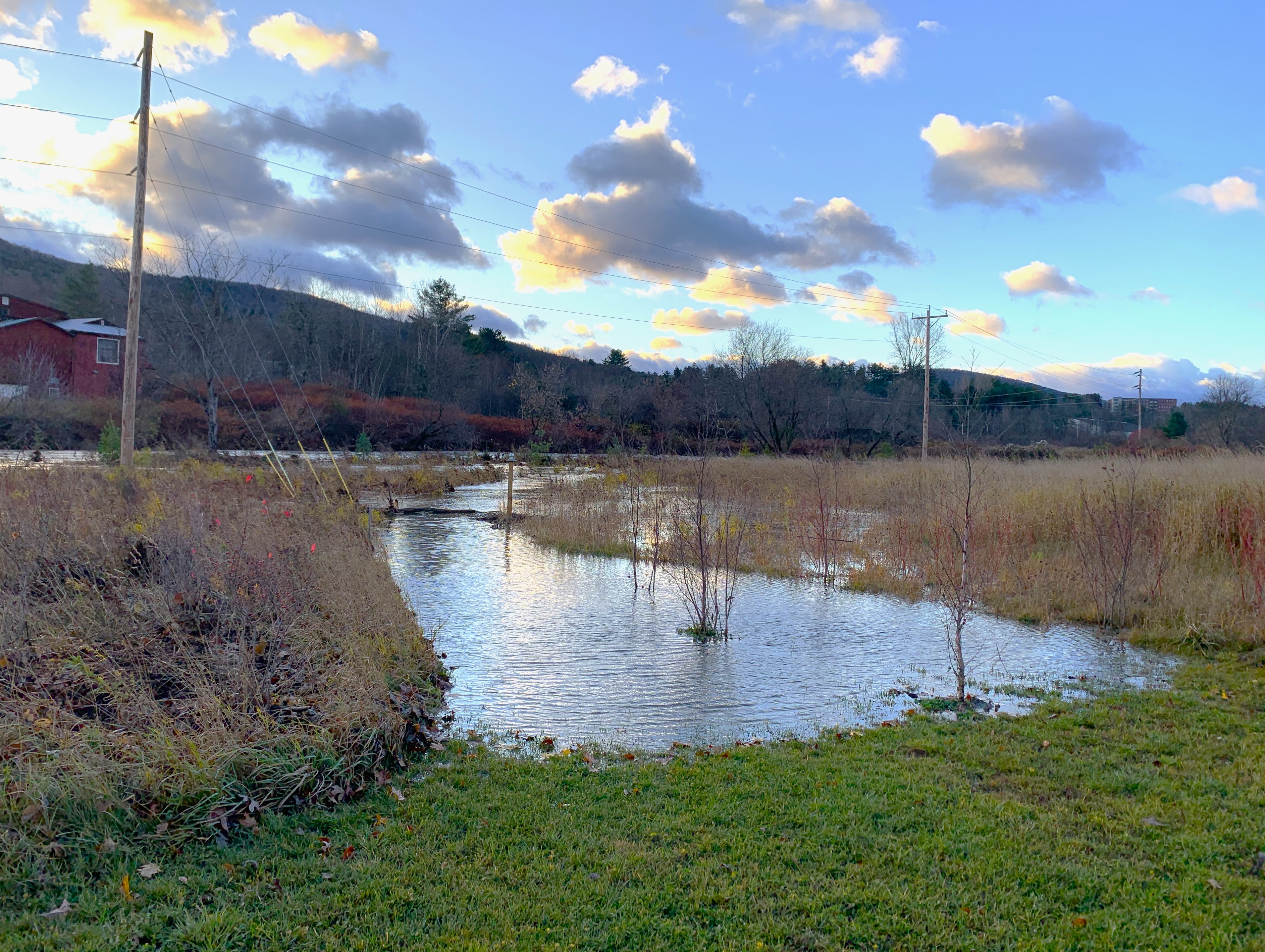
The park is designed to flood and to recover from flooding without needing major repairs. It includes three distinct zones: a lawn along Water Street, a big wildflower meadow in the middle, and trees and shrubs that line the river. Since it was completed in 2017, the Dog River Park has experienced quite a few floods that filled the meadow and spread into the lawn, and it has performed just as designed.
This summer, the Water Street neighborhood was inundated by a nearly-50-year flood event. The Park area is not large enough to contain that much floodwater, but we know that it helped. Comparing the depth of this year’s flood to what it would have been without the project, the depth of the water across the neighborhood was six inches lower than it would have been without our work. Homes experienced flooding in their basements, but not the first floor, which makes a big difference in the impact. The aerial photo of the flooding shows that another six inches of depth could have caused more serious damage to these homes and more costs to the community.
Let’s Do More!
This Friends of the Winooski River project is now a model for floodplain management in Vermont. It has shown that we can make our communities safer and our waters cleaner by restoring nature wherever we can.
Knowing that this approach is successful at reducing flood impacts, FWR is looking for more opportunities to give our rivers and streams the room they need to spread out and slow down in a safe and amazing way.
We are looking for opportunities to use the same model to provide more public access to our rivers and beautiful natural recreation spaces for our communities.
Read a Times Argus article about the Park, the source of the photo below by Jeb Wallace-Brodeur, from 2018, the year the project was completed.