Learn
Find out the facts. See what we do and why we do it.
Founded in 1998, Friends of the Winooski River is a non-profit organization dedicated to the restoration and protection of the Winooski River and its watershed. We hope to create a community of stewards working to improve watershed health by reducing pollution, improving habitat, increasing river stability, and encouraging the sustainable enjoyment of our river.
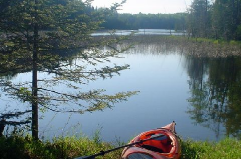
I love the Winooski River! Every season of the year, I can find beautiful places along the river that take my breath away. It's the water of life for those of us lucky enough to live in her watershed.

Jeanne, Burlington
Participating in the Stream Wise Assessment program helps me realize a piece of my dream as my parcel in Cabot not only has frontage on the Winooski, but also on the shore of West Hill Pond, the headwater of the Winooski. An important part of my dream has been to set an example for my family and to show the importance of the natural world and being active in protecting it.
Phil, Cabot
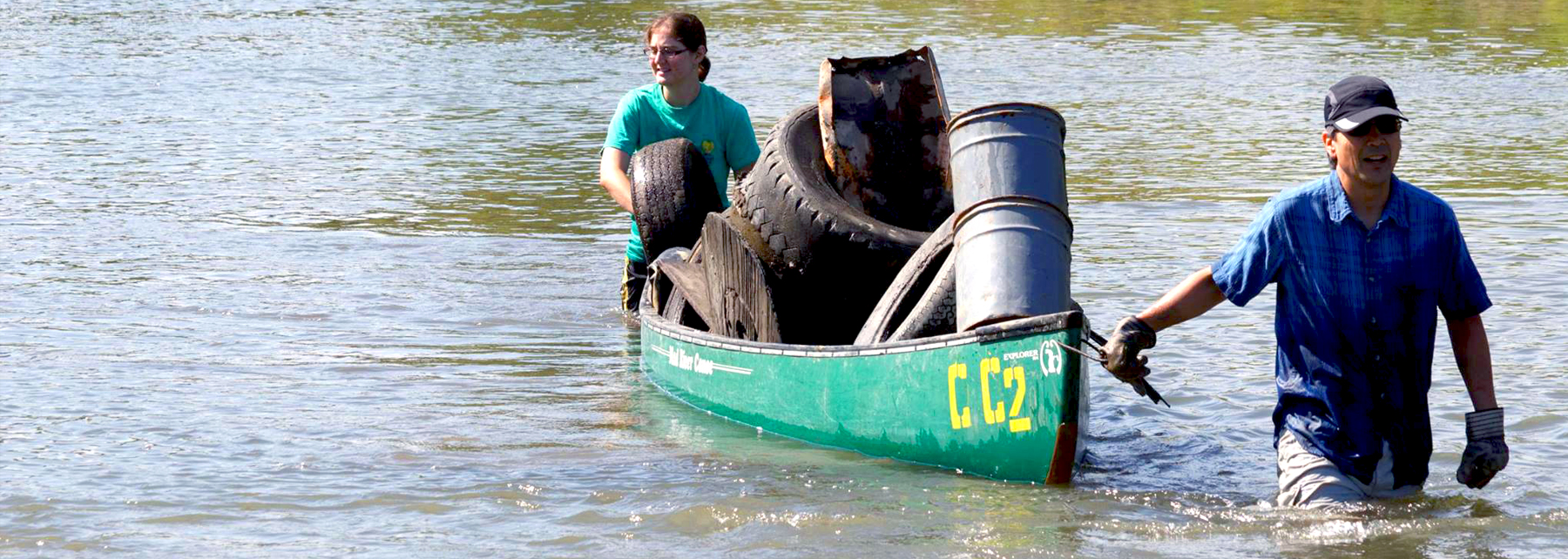
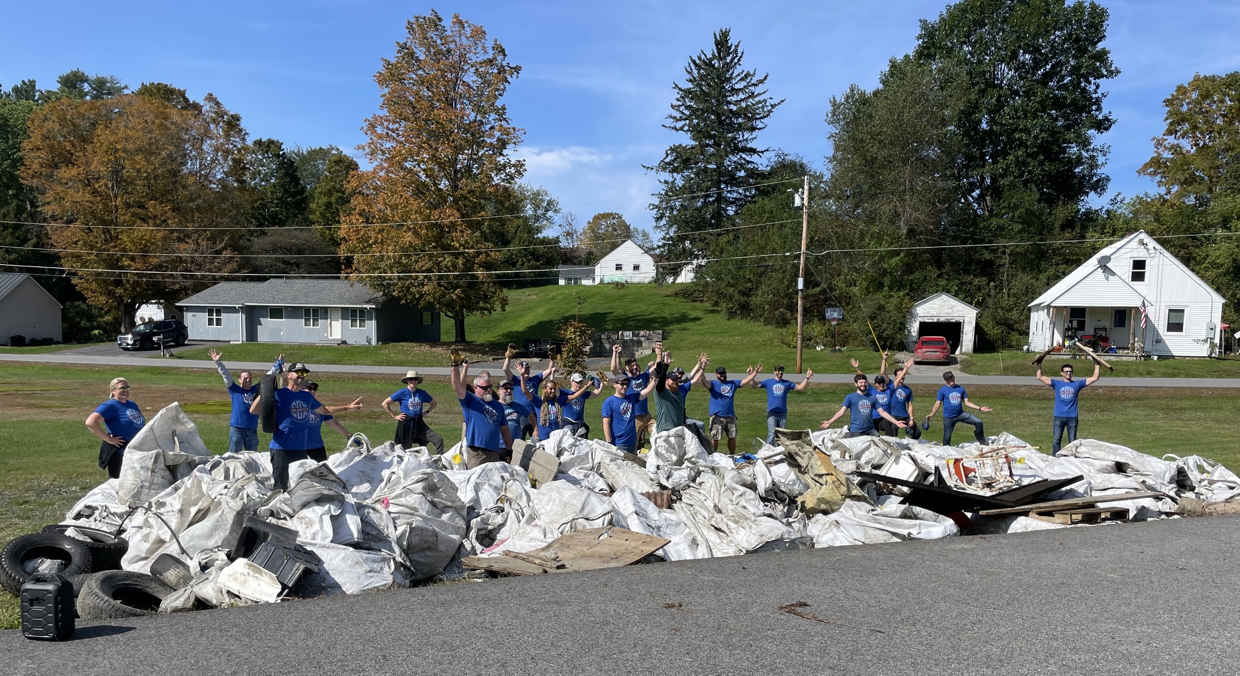
I love volunteering with Friends of the Winooski! The annual river clean up is one of my favorite days of the year......There's something uniquely satisfying about working together with your friends and neighbors to dislodge a tire from the mud. It's just fun!
Anne, Montpelier
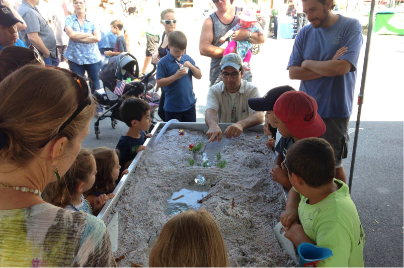
Friends of the Winooski has helped to educate me a lot about how my and our actions affect this watershed for better or worse. It's a work in progress for everyone! Thank you Friends!
Scottie, Plainfield
Each fall, after Labor Day weekend, I know I can always look forward to River Clean-Up Day....One thing I think people would never expect–the event is actually very fun. Here in Montpelier, we all see the Winooski and North Branch; they line our downtown and neighborhoods. In the Fall, if you see us down in the river, come on down, the water is warm-ish.
Jedediah, Montpelier

50
Tons of trash removed from the Winooski River

40
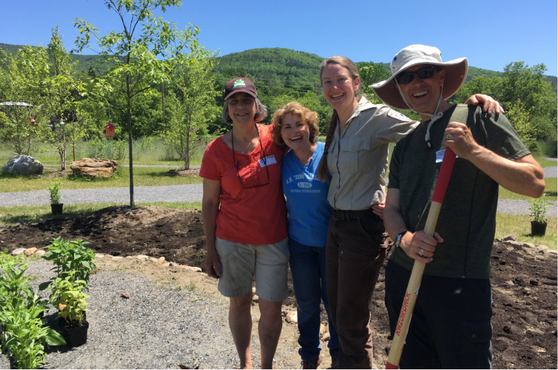
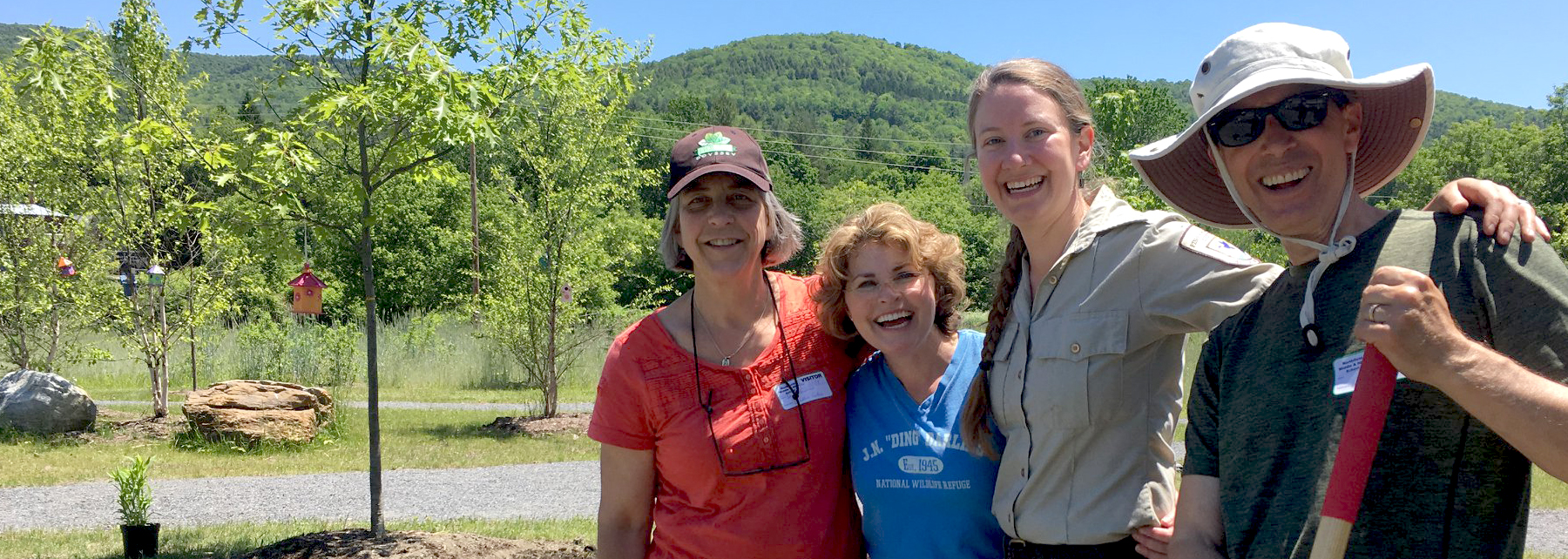
Habitats improved

8,000
Water quality samples analyzed

45,000
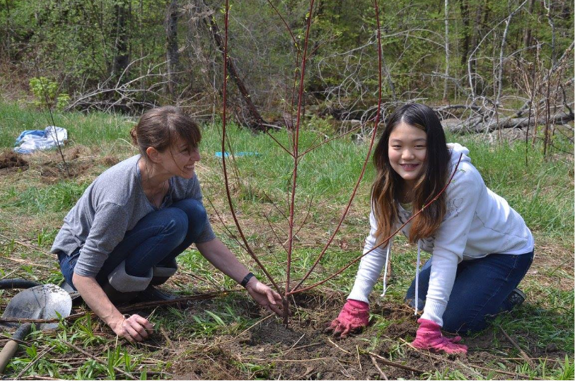
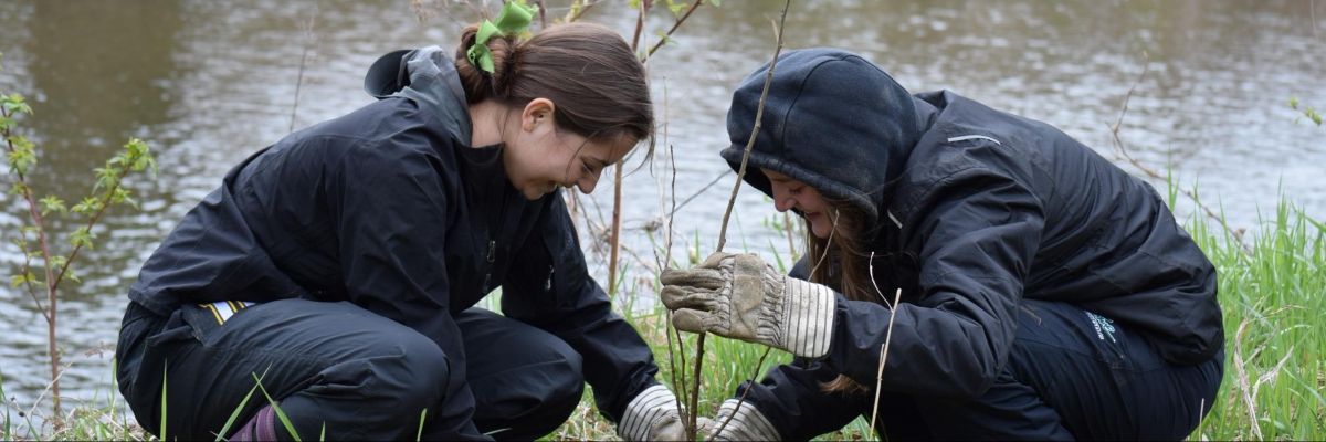
Trees and shrubs planted
Click on items for more information. Click boxes in legend to turn layers on and off.
Curious about pros and cons of dredging rivers? Friends of the Winooski River spoke with three local experts to better understand this practice.
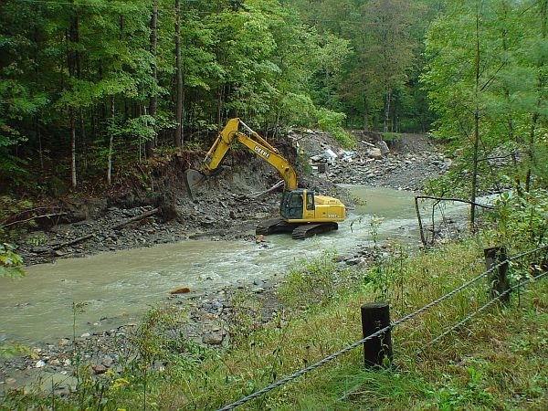
Homes, businesses, and a few entire towns were upended by the historic flooding in the Winooski River watershed this summer. Read full blog post at this link.